weather data
jump to: 1 observations 2 satellite/radar 3 objective analyses 4 noaa products 5 numerical models 6 archives
1 observations
+ upper air
plan view spc (raw w/ profilers/vwps; nam initialized) ncar (raw; ruc initialized)
individual spc unisys cod off-hour gsd acars/tamdar
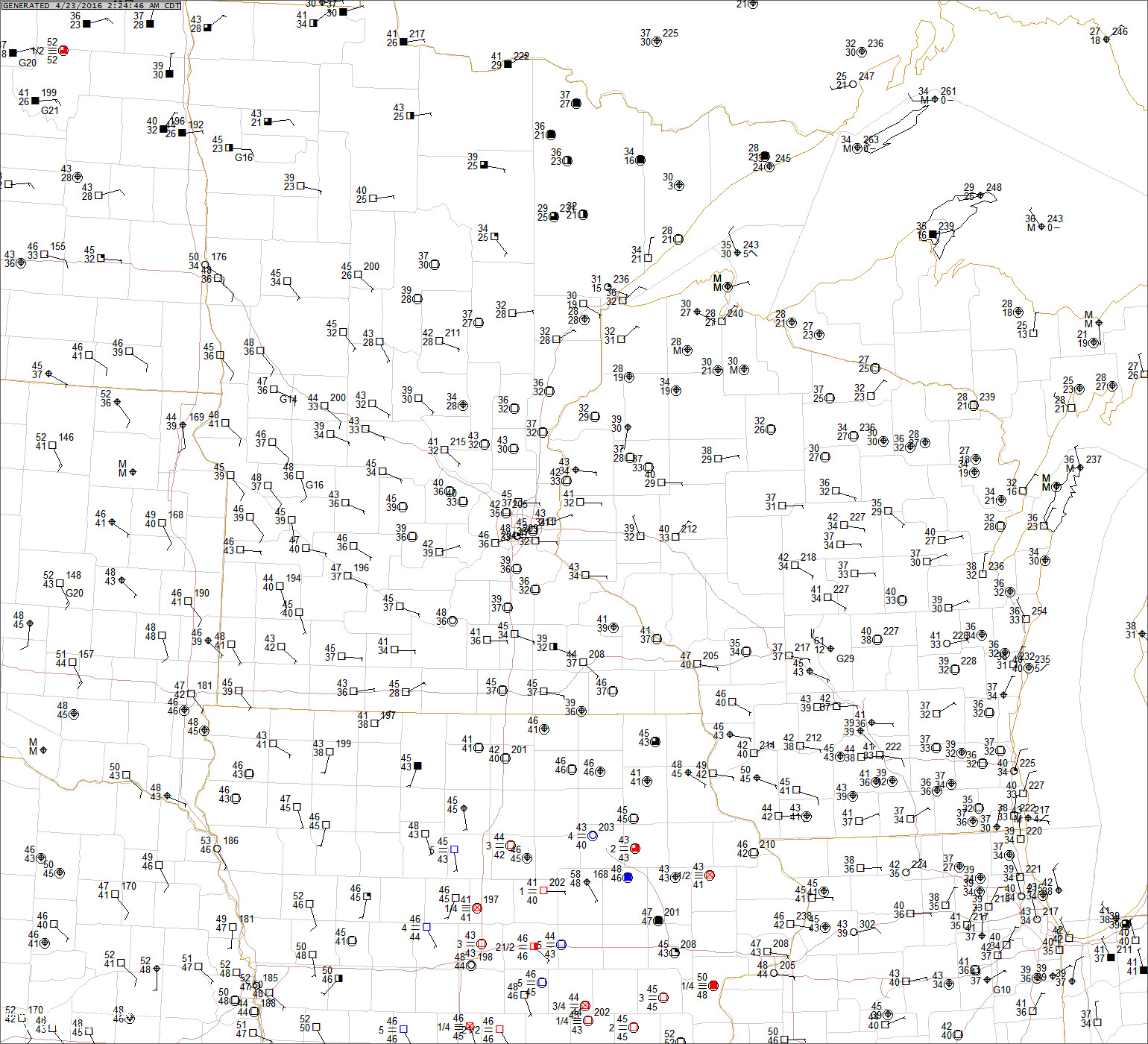
+ surface
ncar regional nrn plains cntrl plains srn plains upr ms vlly lwr ms vlly oh vlly nrn rockies cntrl rockies [to loop]
pietrycha regional nrn plains cntrl plains srn plains upr ms vlly mid ms vlly lwr ms vlly
cod state nd sd ne ks ok tx mn ia mo ar wi il mt wy co
mesonets ksn weatherlab ok tx madis
ndbc buoys wrn gulf of mexico ern gulf of mexico all
+ wind profilers
plan view ncar low-level 4-panel ncar mid-level 4-panel cod constant height
individual gsd 6-min & 1-hr cod 6-min cod 1-hr earl barker 1-hr (w/ srh) ncar 1-hr (w/ hodo plot)
+ vad wind profiles minot bismarck mayville rapid city aberdeen sioux falls
north platte hastings omaha goodland dodge city wichita topeka
frederick vance afb norman tulsa ft. smith little rock
amarillo lubbock midland abilene san angelo ft. worth ft. hood
duluth minneapolis des moines davenport lacrosse milwaukee green bay
pleasant hill springfield st. louis chicago lincoln
glasgow billings cheyenne denver pueblo tucumcari
2 satellite/radar
+ satellite
mosher national and global water vapor/visible/fog channel
water vapor cira nrn hemi rap national cod national
adds regional visible nrn rockies [loop] cntrl rockies [loop] nrn plains [loop] cntrl plains [loop] srn plains [loop] upr ms vlly [loop] lwr ms vlly [loop]
cod state visible mt [loop] wy [loop] co [loop] nd [loop] sd [loop] ne [loop] ks [loop] ok [loop]
tx ph [loop] nwrn tx [loop] swrn tx [loop] mn [loop] ia [loop] mo [loop] ar [loop] wi [loop] il [loop]
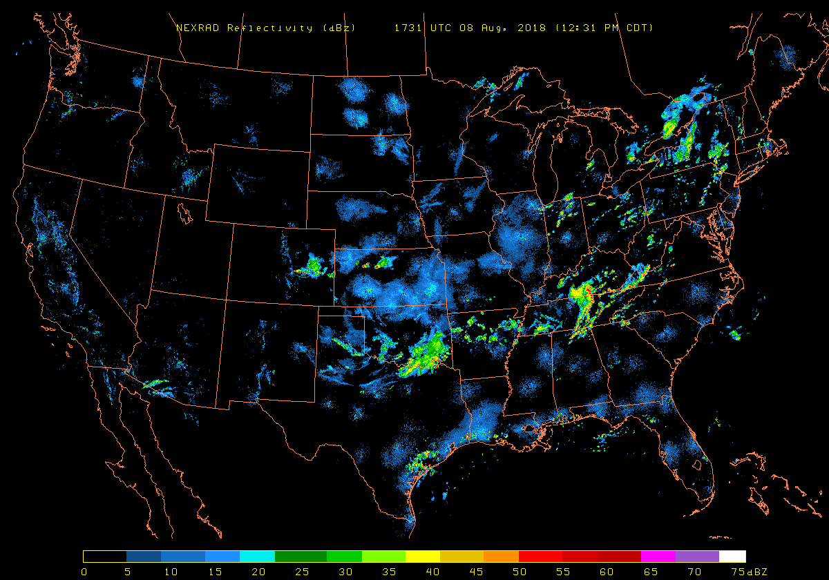
+ radar
national wisc ciws (w/ vis/nldn/echo tops)
nws regional nrn rockies nrn plains srn plains great lakes/oh valley
cod/nws individual minot afb 1 2 bismarck 1 2 mayville 1 2 rapid city 1 2 aberdeen 1 2 sioux falls 1 2
north platte 1 2 hastings 1 2 omaha 1 2 goodland 1 2 dodge city 1 2 wichita 1 2 topeka 1 2
frederick 1 2 vance afb 1 2 norman 1 2 tulsa 1 2 ft. smith 1 2 little rock 1 2
amarillo 1 2 lubbock 1 2 midland 1 2 dyers afb 1 2 san angelo 1 2 ft. worth 1 2 ft. hood 1 2
duluth 1 2 minneapolis 1 2 des moines 1 2 davenport 1 2 lacrosse 1 2 milwaukee 1 2 green bay 1 2
pleasant hill 1 2 springfield 1 2 st. louis 1 2 chicago 1 2 lincoln 1 2 paducah 1 2
glasgow 1 2 billings 1 2 cheyenne 1 2 denver 1 2 pueblo 1 2 tucumcari 1 2
3 objective analyses
+ oa systems spc spc overlay earl barker earl barker overlay ok mesonet cod isentropic cool wx hpc surface analyses
+ oa surface fields convergence unisys cod cod 4-panel ncar ruc w/ li 3hr pressure change unisys cod
4 noaa products
+ cod afds/hwos bis 1 2 fgf 1 2 unr 1 2 abr 1 2 fsd 1 2 lbf 1 2 gid 1 2 oax 1 2
gld 1 2 ddc 1 2 ict 1 2 top 1 2 oun 1 2 tsa 1 2 lit 1 2
ama 1 2 lbb 1 2 maf 1 2 epz 1 2 sjt 1 2 fwd 1 2 ewx 1 2
dlh 1 2 mpx 1 2 dmx 1 2 dvn 1 2 arx 1 2 mke 1 2 grb 1 2
eax 1 2 sgf 1 2 lsx 1 2 lot 1 2 ilx 1 2 pah 1 2 meg 1 2
ggw 1 2 byz 1 2 cys 1 2 bou 1 2 pub 1 2 abq 1 2
+ plan view afds general aviation
+ adds tafs individual java
+ spc/wfo products cod swos/mcds/wws nws watches/warnings/advisories meteostar watches & warnings cod wfo warnings
+ hpc forecasts qpf snow excessive rainfall
+ cpc forecasts 6-10 day temp & precip 6-10 day 500mb mean/st dev
+ recent precipitation/drought nws precipitation analysis nws national snow analyses drought monitor
5 numerical models
+ ensemble psu ensembles of naefs, gefs, cmc, sref (spaghetti, mean, st dev of mean)
naefs (spaghetti w/ ncep/cmc means)
ncep cpc (spaghetti) esrl (spaghetti, mean, st dev of mean, climo)
canadian (spaghetti) hpc surface lows spc sref
+ long range ecmwf centre unisys san jose
meteostar gfs meteocentre ecmwf/gfs/ukmet hpc concensus/gfs/gefs ec gem spc mars
+ short range cod ncar gsd tvn
ncep all models high-res east nam versions nam conv fcst ruc conv fcst
earl barker conus nam/gfs conus mesogfs plains nam/gfs/ruc central & east nam/gfs isentropic
nam-wrf-nmm by region nam-wrf-arw by region
plains severe nam/ruc cntrl plains and lwr ms vlly severe wrf
+ nam-wrf simulated radar reflectivity
00z 1 km agl ncep 4 km nmm ncar 3 km arw 12z 1 km agl ncep 4 km nmm ncar 3 km arw
00z misc. ncep 4.5 km nmm, matt pyle version nssl 4 km nmm (w/ forecast soundings)
00z/12z composite ncep 4 km nmm ncar 3 km arw 4 km mm vs. 3 km arw 4 km nmm vs. operational nam
+ soundings earl barker cod storm machine
6 archives
+ isu asos
+ spc plan view upper air (w/ nam initialization)
+ spc severe events (misc. observations and forecast data)
+ isu storm-based warnings (all)
+ nws storm-based warnings (past week)
+ jonathan finch tornado events
+ corey mead tornado outbreaks
+ john hart severe events by rda
+ wfo rap pwat climo by raob site
+ ncep/ncar reanalysis w/ anomalies
+ esrl mean/anomaly composites